
Aerial Data
Solutions for All
Fast, affordable, and reliable information about your assets to make informed, real-time decisions.
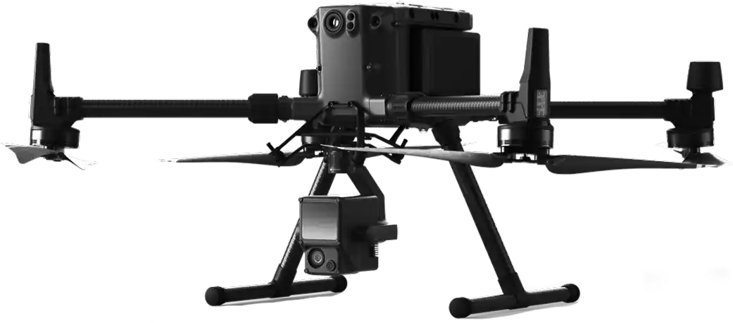
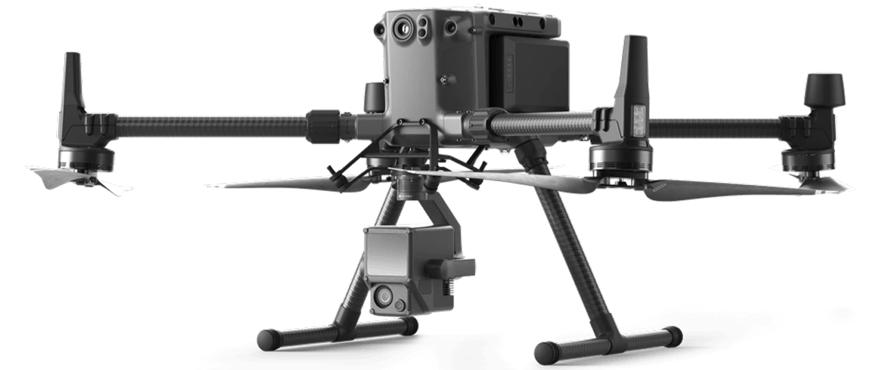
Aerial Data Solutions specializes in Aerial Data Acquisition and storage to fuel mission critical projects. Using aerial and ground-based platforms we capture LIDAR, thermal, infrared and photogrammetry.
Discover Our Services

Architecture, Engineering & Construction
Map, Model, and Inspect with Drone Solutions, Automate Workflows, and Digitize Your Assets.
Discover Our Industries
Architecture, Engineering & Construction
Map, Model, and Inspect with Drone Solutions, Automate Workflows, and Digitize Your Assets.

Cemetery Management & Planning
Drones enable large-scale, detailed surveys of cemeteries, which allow for more accurate inventory maintenance, perpetual care, and preservation work.

Commercial & Residential Real Estate
Receive actionable information from the sky for better, real-time decisions across residential, commercial, industrial, and other assets.

Heritage Site Preservation
Build detailed 3D models of cultural and natural heritage sites, digitizing assets for preservation and education.

Infrastructure & Utility
Manage Electrical Grids and Plants with Drone Solutions. Monitor Construction, Conduct Inspections and Maintenance with Ease.
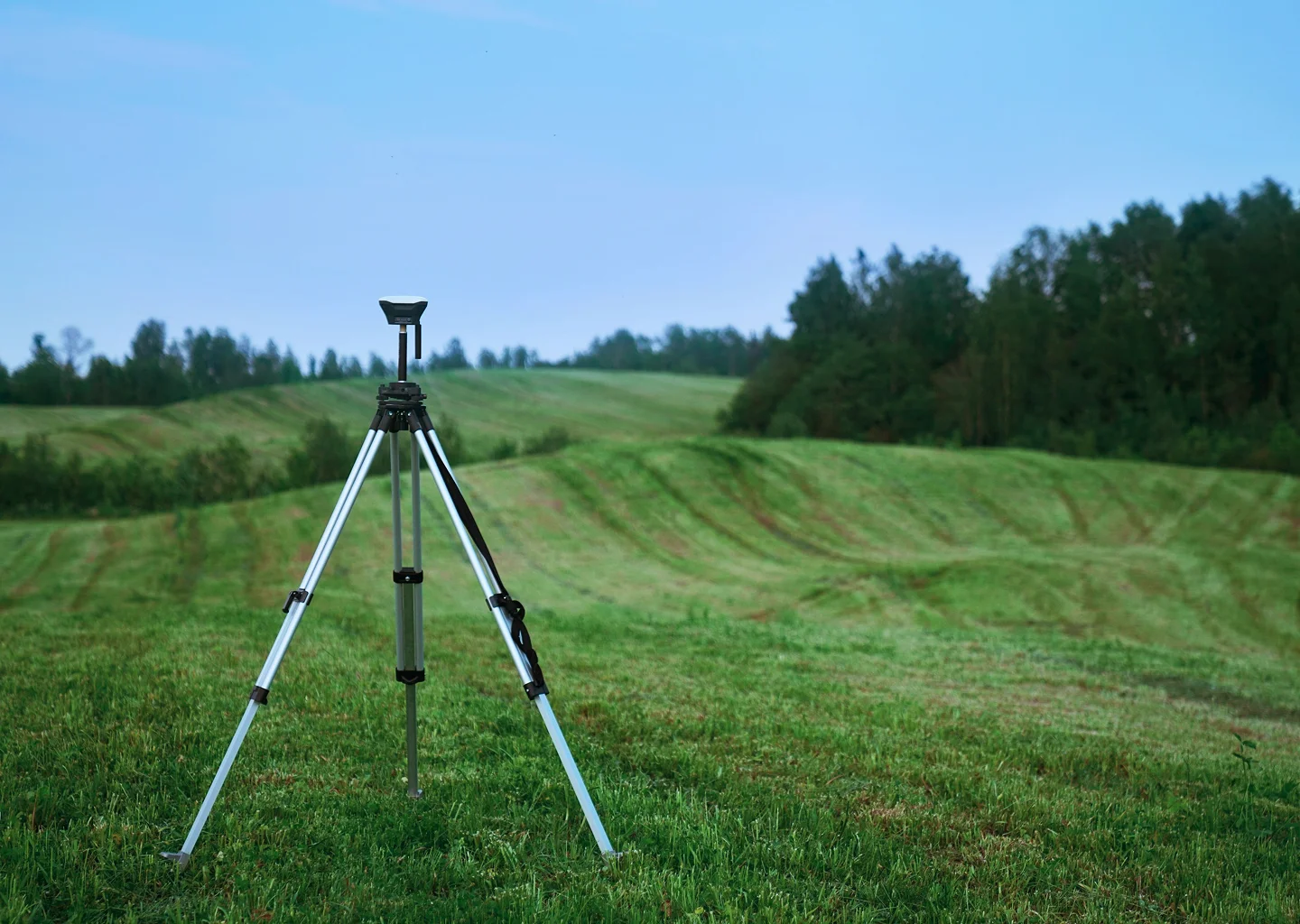
Surveying
Drone solutions collect accurate, geo-tagged data quickly, while photogrammetry software processes these data to deliver standardized outputs.
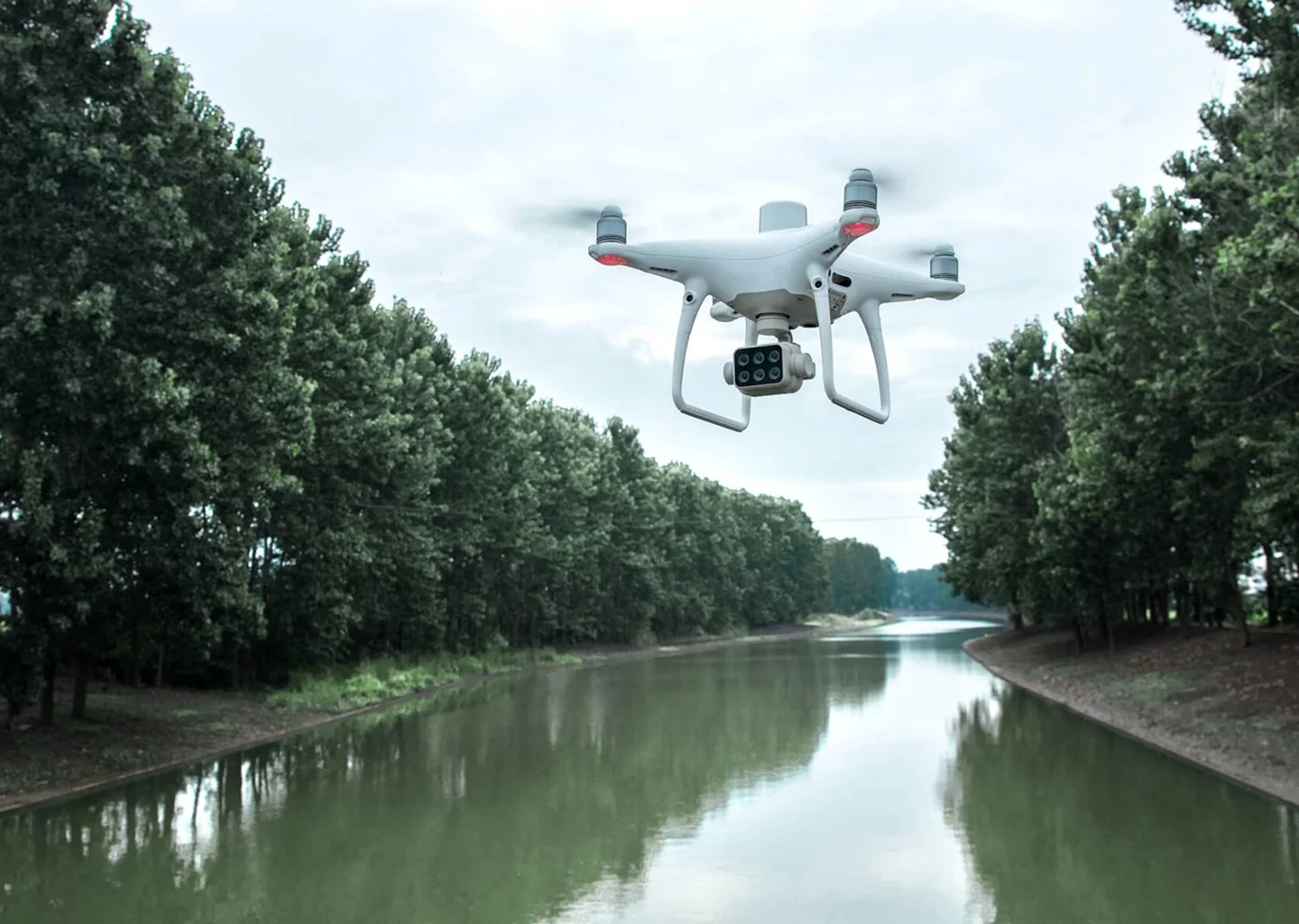
Natural Resource Management
Drones enable large-scale, detailed surveys of natural resources, providing accurate maps and models as well as telemetry data.

Urban Planning
Drone data creates accurate 2D and 3D models that integrate seamlessly with local geographic information systems, helping teams visualize results