
About Us
Your Partner for
Aerial Data Solutions
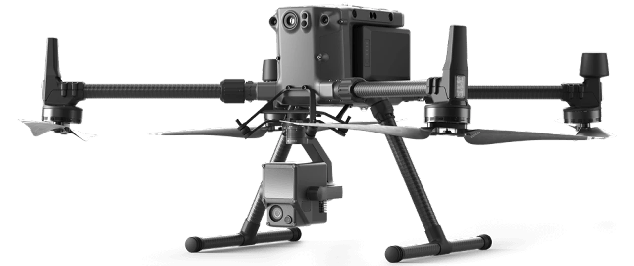
Aerial Data Solutions specializes in Aerial Data Acquisition and storage to fuel mission critical projects. Using aerial and ground-based platforms we capture LIDAR, thermal, infrared and photogrammetry. We convert this data into digital twins which can be used for architectural design, cemetery management, engineering, construction, surveying, building management, real estate, and cultural preservation.


To harness advanced aerial and ground based technologies to deliver precise, actionable data and intelligent visual solutions.
Empowering our clients across architecture, engineering, construction, land management, real estate, and natural resource sectors. We are committed to innovation, safety, and excellence using cutting edge drone systems, LIDAR, photogrammetry, and spatial analytics to transform complex environments into clear insights, streamline project outcomes, and support informed decision making that drives progress for communities and industries alike.

To be a leader in next generation aerial and spatial technology.
Redefining how the world captures, understands, and interacts with the built and natural environment. We envision a future where precise data, intelligent imaging, and innovative drone solutions make projects safer, faster, and more sustainable, empowering industries and communities to build, manage, and grow with clarity and confidence.